
Mapping · Positioning · Wayfinding · Spatial Intelligence
Make your spaces smart.
Discover how advanced mapping and computer vision technologies transform operations and customer experience.














































Cutting edge technologies, for you to combine.
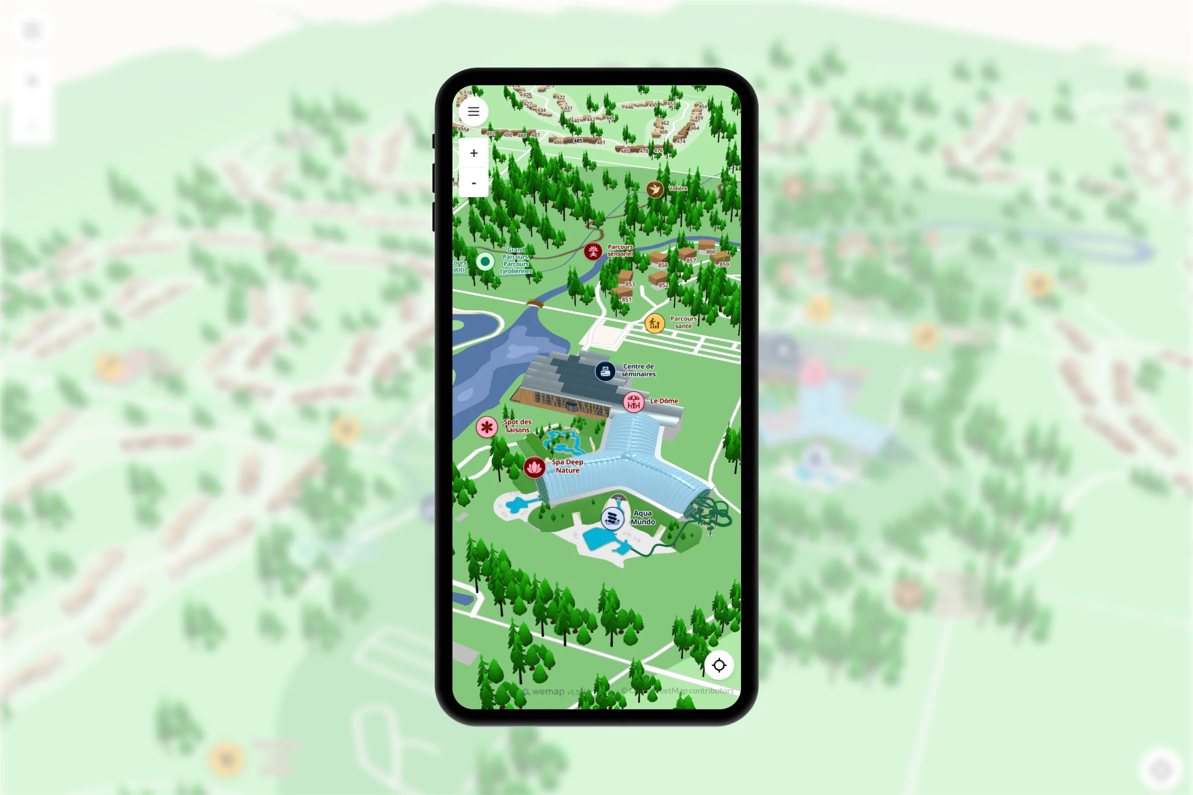
2D and 3D indoor & outdoor maps, rich content, real-time data connectors.
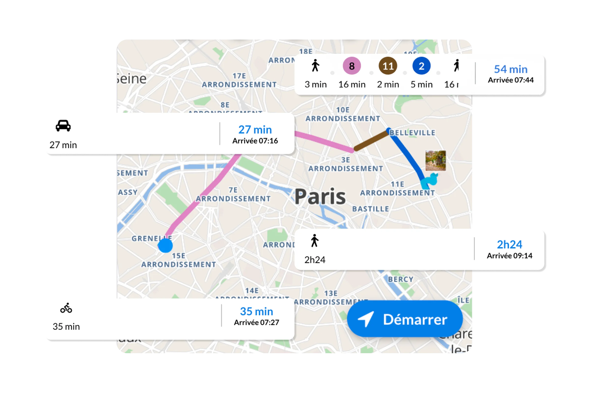
Multimodal indoor/outdoor navigation, multi-floor, with a smart, accessible routing engine.
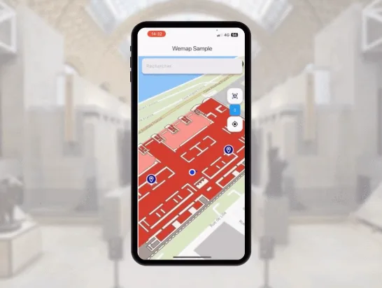
1–3 m accuracy, deployed in hours with a 360° camera. No costly hardware neither beacons, nor LIDAR.
Wemap Vision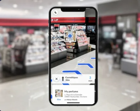
Step-by-step AR navigation, visual search, gamification — web & native iOS/Android.
Wemap Vision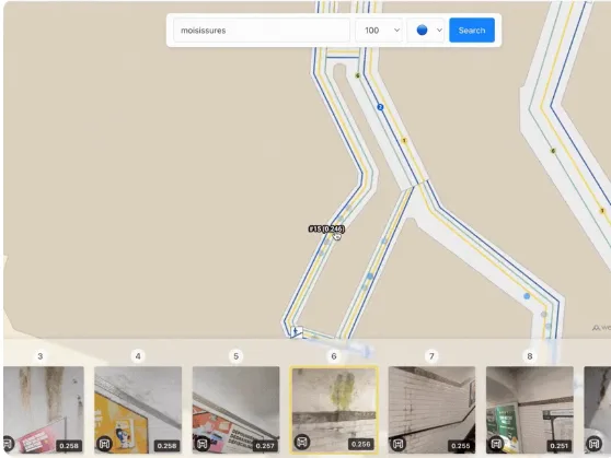
Virtual tours, asset detection, auto 3D reconstruction and mapping, VLM and image search.
Wemap Vision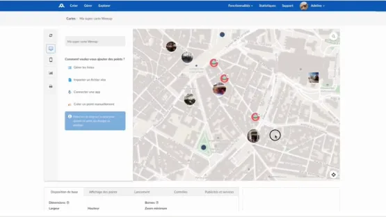
Wemap Pro, a WYSIWYG back-office, and a complete set of dev tools.
Wemap ProA platform proven at scale, for any environment.
Discover how Wemap transforms operations in your industry.
Paris 2024 — The official Olympic map.
"Wemap delivered the official mapping for 180+ Paris 2024 venues — the second most-used feature in the official app."

Built to move fast. Designed to last.
From signature to production — no months of development, no infrastructure build-out. Our SDKs and APIs are ready to use out of the box.
Our Visual Positioning System and our lightweight digital twin tools deploy with a consumer 360° camera. No Bluetooth beacons, no dedicated WiFi, no LIDAR equipment required.
Technology designed and operated in France. EU cloud, private cloud, or on-premise hosting — no dependency on third-party systems.
Your data stays yours. Standard formats, native exports, open APIs. You're never locked into a proprietary black box. You leverage Wemap in full autonomy.
Recognised by
France 2030 Laureate France Deeptech member Top 15 Travel Tech 2024 OpenARCloud Member OpenStreetMap contributor Backed by Bpifrance Frequently asked questions
Make your spaces smart, starting today.
Request a personalised demo or explore our APIs. Our team guides you from proof of concept to full deployment.